
Virginia State University Helps Small, Beginning and Veteran Farmers Adopt Precision Agriculture Technology
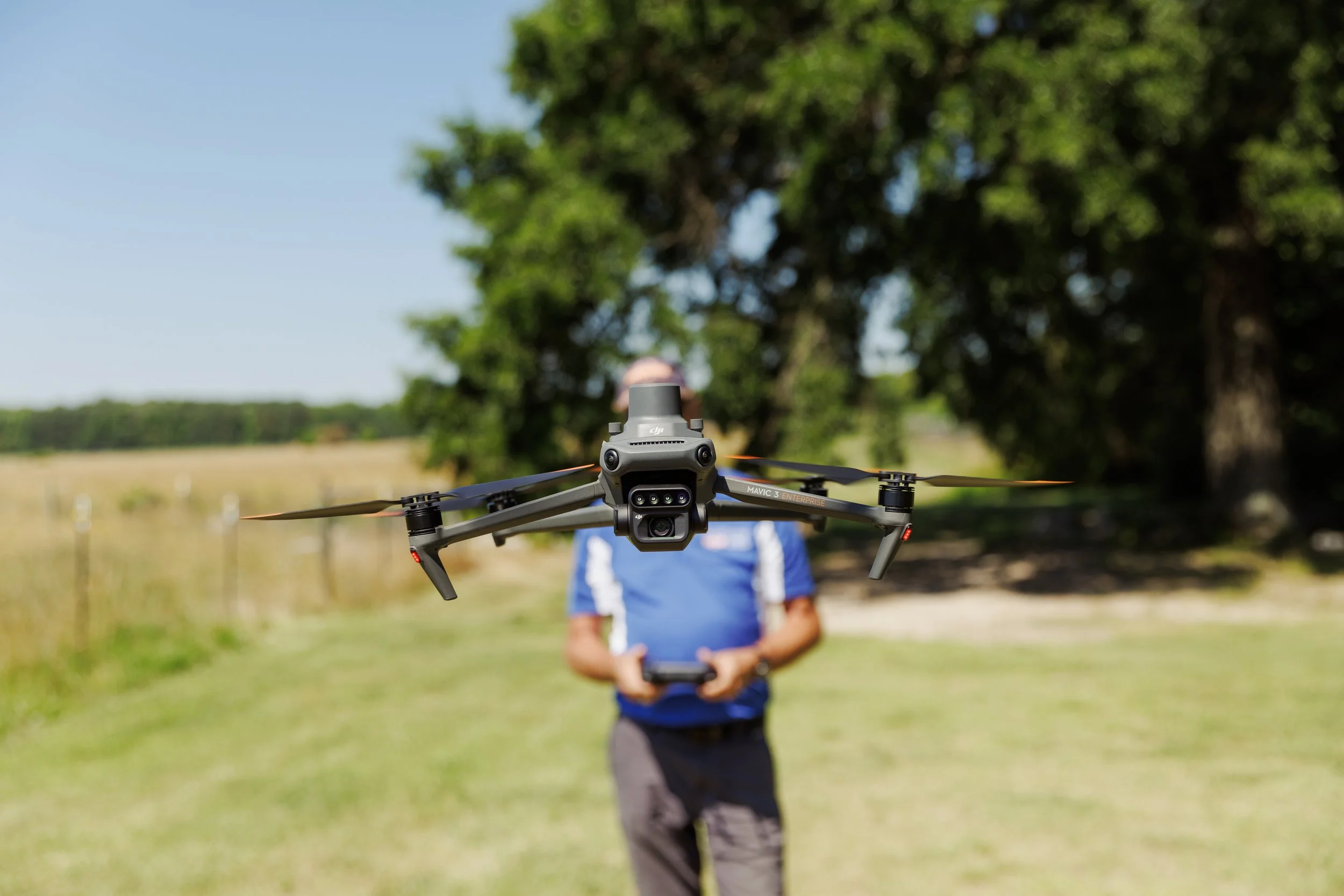
Aerial imagery has been a cornerstone of agricultural decision-making for more than a century, giving farmers a bird's-eye view of land use, field boundaries, soil conditions, and crop health. While early aerial imaging required helicopters, film cameras, and technical expertise, farmers can now capture those same insights with compact drones, digital sensors, and affordable software. At Virginia State University (VSU), the Small Farm Outreach Program (SFOP )'s Extension professional, Mr. Tim Sexton, is a grant specialist, the state Coordinator for Herd and Forage Improvement, and a licensed drone pilot. He draws on decades of experience in soil science and aerial imagery to teach Virginia farmers how to use drones for precision agriculture, helping them save time, reduce costs, and make better in-season management decisions.
Aerial imagery as an agricultural tool
Aerial imagery dates back to the 1800s and was widely adopted by the U.S. Department of Agriculture and the U.S. Forest Service in the 1930s. Early applications focused on land mapping, crop assessment, forestry, and wetland identification. Much of the technology that underpins today's remote sensing originated in military research and was later adapted for environmental monitoring and agricultural production.
Sexton, who holds a master's degree in soil science and has more than five decades of professional experience, has been working with aerial imagery since the early 1970s. For more than a decade, he analyzed thousands of acres every year in the Shenandoah Valley, helping farmers improve field management and crop performance. At the time, this could only be done by flying helicopters equipped with high-format film cameras. While expensive and labor-intensive, this process produced valuable insights farmers could not gather from the ground.
Since it was adopted for agricultural use, aerial imaging has become a critical tool to help growers make informed decisions about their operations. For example, images can reveal soil drainage patterns in fields, helping determine what crops to plant in wetter or drier soils. "Soybeans like constant available moisture and don't do well in dry soil, whereas tobacco does," Sexton explains. "Tobacco and cotton are both sensitive to water. We can identify soils with higher moisture content and plant something better adapted to those soils so the farmer doesn't lose income from loss of those crops that are sensitive to water."
Precision agriculture for early detection
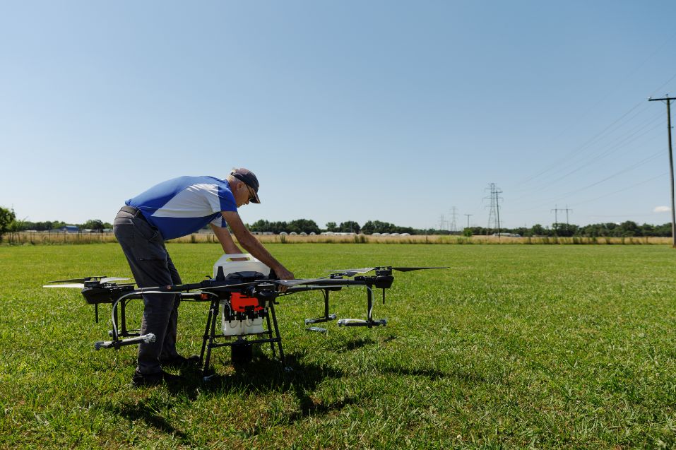
As agricultural technology advanced, aerial imagery became a critical component of what is now known as precision agriculture. Sexton defines precision agriculture as "making decisions during the growing season instead of before or at the beginning of the growing season." Drones help farmers see crop and soil conditions in real time and respond to issues like insect infestations, disease outbreaks, or nutrient deficiencies before they cause significant losses.
Sexton gives the example of a thrips infestation moving northward. "If I see an Extension report in North Carolina saying farmers have thrips in Roanoke Rapids, then traditionally, I'd be walking fields down on Southside with a net to find out how many thrips were there," he says. "If they were present, we would spray the field because they spread out like fire. With aerial imagery, certain bands of the infrared spectrum can detect a difference in chlorophyll production before you can see it with the naked eye." Herbicides and pesticides can cost hundreds of dollars per gallon, which adds up quickly when a farmer has to spray a large area. With early detection, farmers can spray small areas instead of the whole field, protecting their yield, reducing environmental harm, and saving money in input costs.
Drones also help address common farming challenges such as skips and overlaps in planting, spraying, and fertilization. Sexton notes that many average farmers historically experienced overlap rates as high as 55% due to visibility issues and manual steering. When combined with other precision ag tools, including GPS guidance systems, aerial imagery can help reduce those inefficiencies to less than 5%. Drone data can inform better irrigation scheduling, improved fertilizer timing, and more uniform crop performance across fields.
Nitrogen is a critical nutrient for food production and the nutrient most likely to be lost to the environment, where excess amounts can cause cascading environmental problems in terrestrial and aquatic ecosystems. Growers must manage nitrogen applications carefully to balance providing adequate nutrients to their crops with known nutrient loss. Even with careful management, scientists estimate[AC1] that only about half of applied nitrogen reaches the plant. Precision agriculture can maximize efficiency with nitrogen inputs in corn production. By conducting in-season tests, such as pre-side-dress nitrate tests when corn reaches knee height, farmers can determine whether they need additional fertilizer or if they can reduce rates without sacrificing yield. This method not only lowers costs but also reduces nutrient loss to the environment.
Linkto: https://eos.org/articles/index-suggests-that-half-of-nitrogen-applied-to-crops-is-lost
Drones and modern aerial imaging
Today, drones make high-resolution, real-time data collection affordable and widely available. While early pest and disease detection are primary areas where aerial imaging pays off, drones are also used to:
Identify soil type variability and drainage patterns
Evaluate crop variety performance in research trials
Support irrigation scheduling when combined with soil moisture sensors
Create high-accuracy topographic maps for land leveling and infrastructure planning
Sexton emphasizes that while aerial imagery provides helpful indicators of emerging problems, it can’t provide definitive answers. "We always have to ground truth it," he says. "If I see something from our imagery that's significantly different, we have to find out why that is. It could be that the soil pH is off, the soil could be low on phosphorus or potassium, have a drainage problem, or perhaps there's some disease present. We have to take a look and run some tests."
Teaching practical drone use at VSU
As part of his job with VSU's Small Farm Outreach Program, Sexton teaches farmers how to incorporate drone technology and precision agriculture tools in cost-conscious ways. He offers aerial imagery workshops several times a year, focusing on real-world applications rather than high-end equipment. He stresses that farmers don't need to invest thousands of dollars to benefit from aerial imagery. Many small producers can acquire needed data with modest equipment, and FAA licensing is required only for commercial drone operation.
Sexton also helps farmers decide whether drone use makes sense for their operation, considering factors such as acreage size, time availability, and data-processing capacity. With the significant data aerial imagery provides, many growers want to incorporate this agricultural technology into their operations as their time and budgets allow. In many cases, assembling and parsing hundreds of photos into usable information can take longer than collecting the images with the drone in the first place. In certain circumstances, such as basic field planning, growers can glean valuable information from free, existing resources like Google Earth's satellite imagery. As drone costs have decreased, they have become more practical for small operations. Sexton takes time in his workshops and demonstrations to help farmers understand and adopt drone technology, emphasizing that precision agriculture is accessible to small, beginning, and veteran farmers.
From its origins in agriculture decades ago to today, aerial imagery has been an important tool in the evolving field of ag tech. This technology supports more precise, timely, and cost-effective decisions for operations management to improve yields, reduce costs, and protect natural resources. By translating technology into applied solutions, Extension at VSU continues to support small, limited resource, and veteran farmers. "I teach soil science, aerial imagery, precision ag, environmental management of nutrients; all kinds of things," says Sexton. "I'm just taking my knowledge and trying to get it to our growers so they can understand it and implement it on their farms."
Related Links